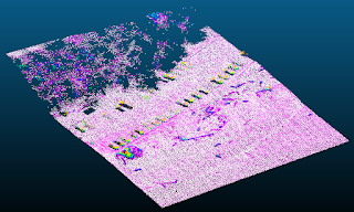
 Lidar point clouds normally come with elevations above sea level (or some other datum), which is
 extremely useful. However, we can convert the Z-values into a height above the ground as way to add another layer of data so that we can measure things like average tree heights, examine building heights., or (one thing I do a lot) filter the points to so that we only see points in a specific height range above the ground. This last application is what we'll be covered here and it's really useful to examine river channels below dense vegetation.